
A higher kind of simple
Nature · Privacy · Belonging
Ninety-five percent of this biodiversity paradise will never be built on. Our stewardship is to gather what is built into a few careful places, and to leave the rest alone.
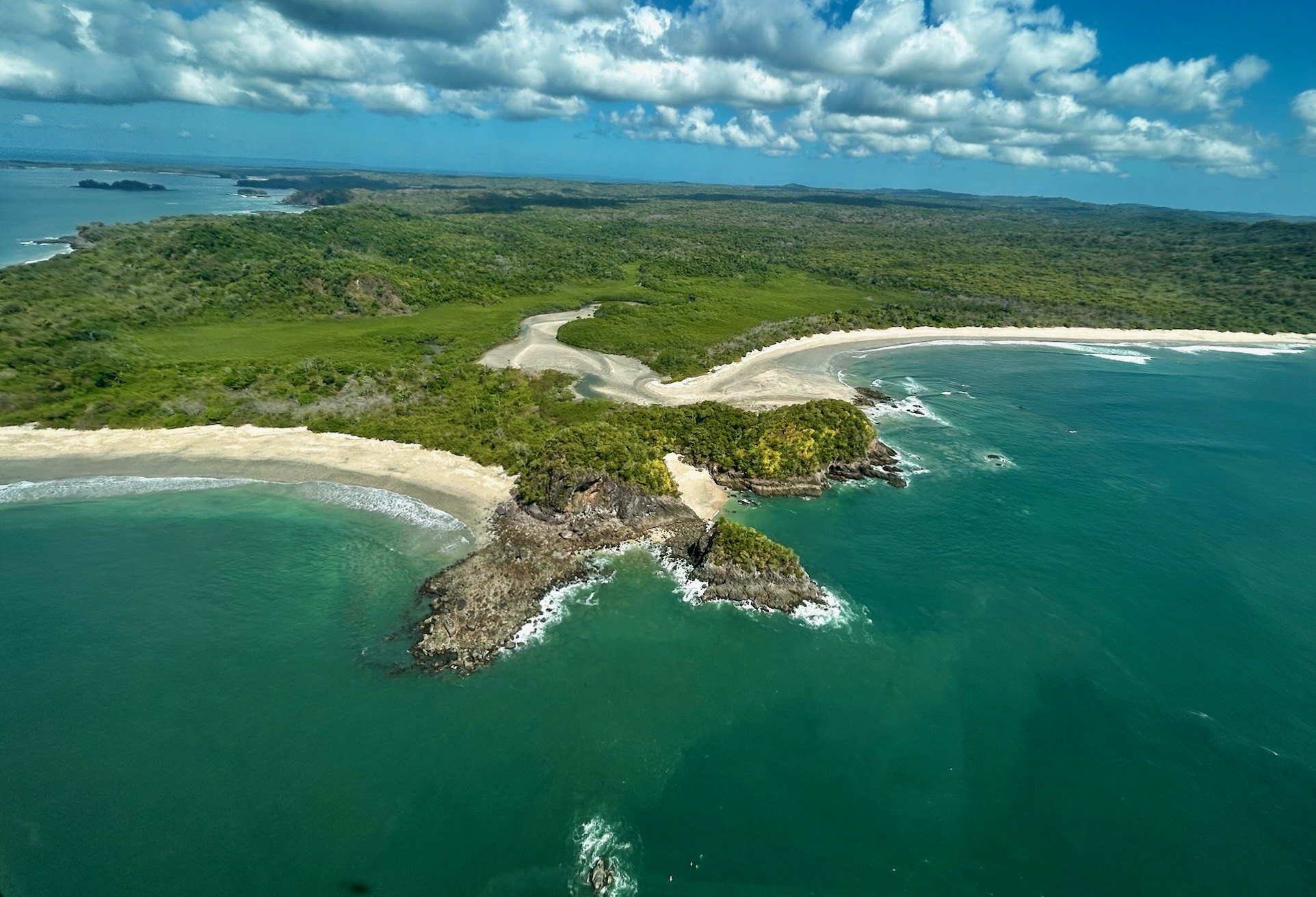
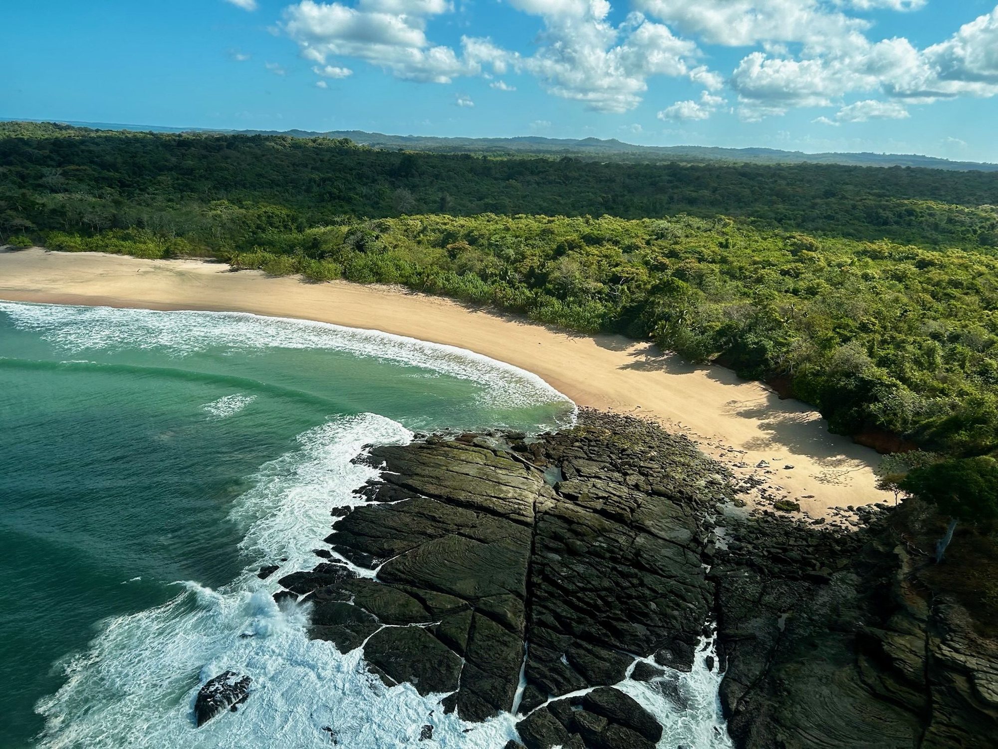
El Refugio is 2,400 contiguous hectares on the wild Pacific edge of Isla del Rey, the largest island of Panama’s Pearl Archipelago. Twenty-six kilometres of oceanfront, primary jungle, river estuaries and mangrove, assembled patiently over twelve years with the trust of the island families who have lived here for generations.
The land is not divided into a thin coastal strip and a reserve behind it. A holding here runs from the sand back through the forest, the ridges and the streams: a whole piece of the island, and a whole ecology to steward. The law already protects the heart of this island. What we have added is a choice: to curate the rarest of domains consciously, and whole, and to ask everyone who comes here to do the same.
El Refugio is not a remote wilderness that takes two days and three aircraft to reach. Isla del Rey lies in the Gulf of Panama, within sight of the mainland on a clear morning, and the flight from the city takes less time than the drive to most airports. Panama is where the hemispheres meet, and its airport is the best-connected in Latin America.
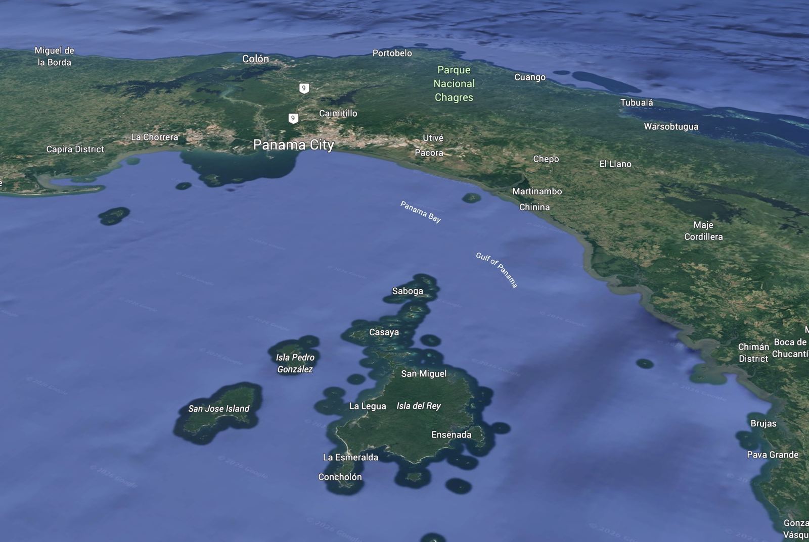
More than two hundred islands and islets lie scattered across the Gulf of Panama. Only one of them carries permanent water. A network of named rivers, the San Juan, the Sucio, the Cascajal, the Mosquito, the Chuche and the Mendeño among them, rises in the highlands of Isla del Rey and drains to all four cardinal directions. Every other island here holds no water at all, or at most a seasonal stream that vanishes in the dry months.
That single fact governs everything: the forest, the estuaries, the mangroves, the wildlife, the farmland that can be cropped, and the possibility of life sustained here across generations. It is the reason the island was settled, and the reason its interior was protected first, by the government and the scientific institutes.
It is also the reason this place can be stewarded rather than merely used. A cooperative plan, made for generations rather than for a cycle, in support of the islanders and of those who support them by choosing to visit, or to keep a home here.
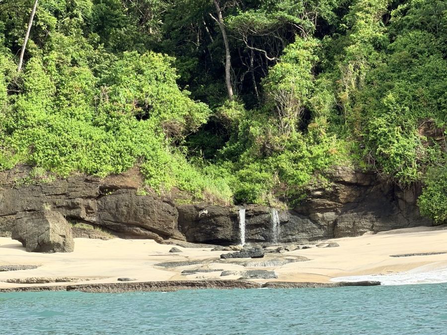
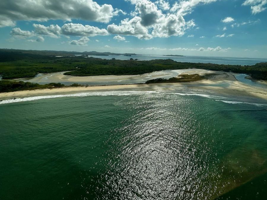
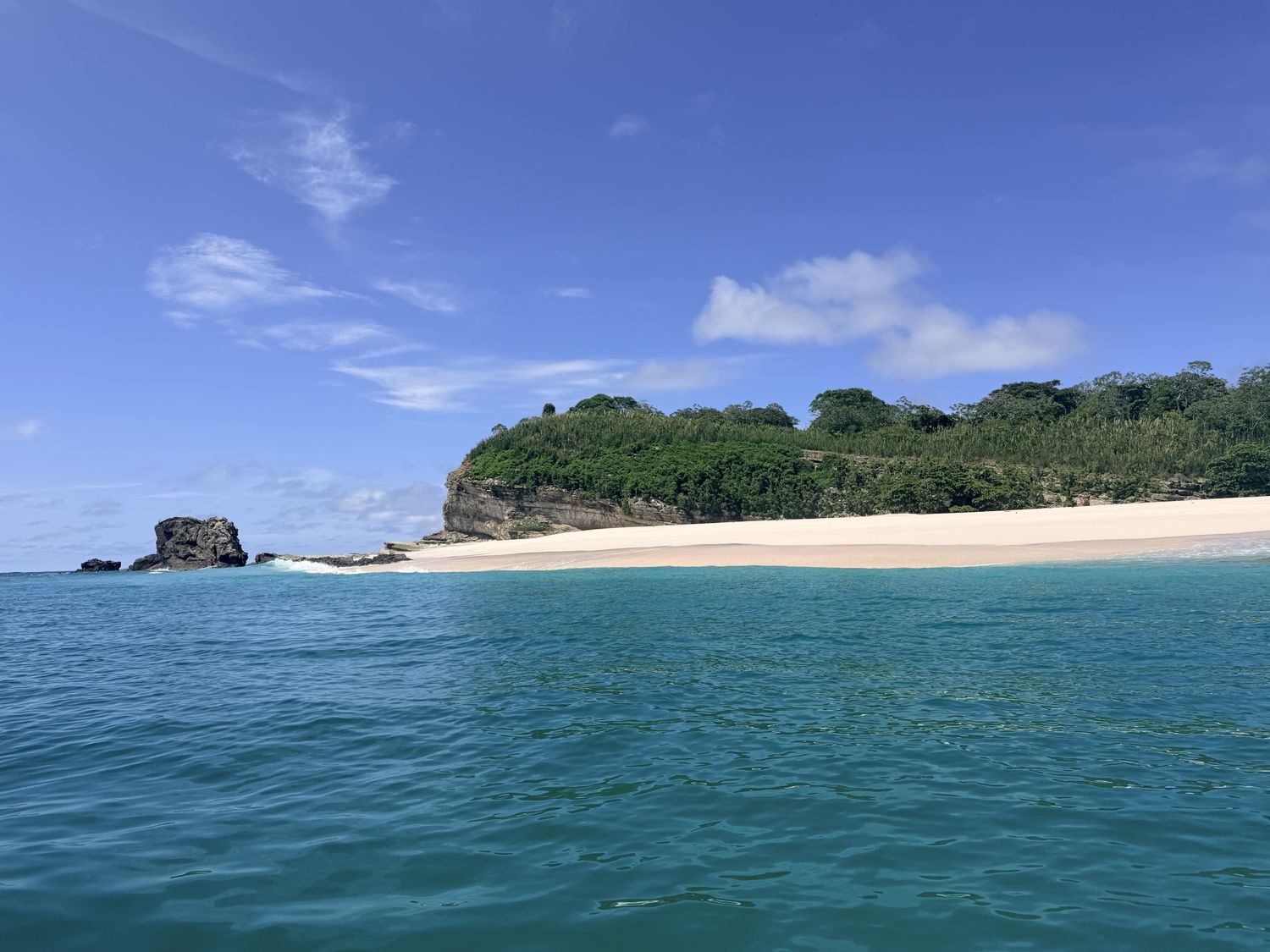
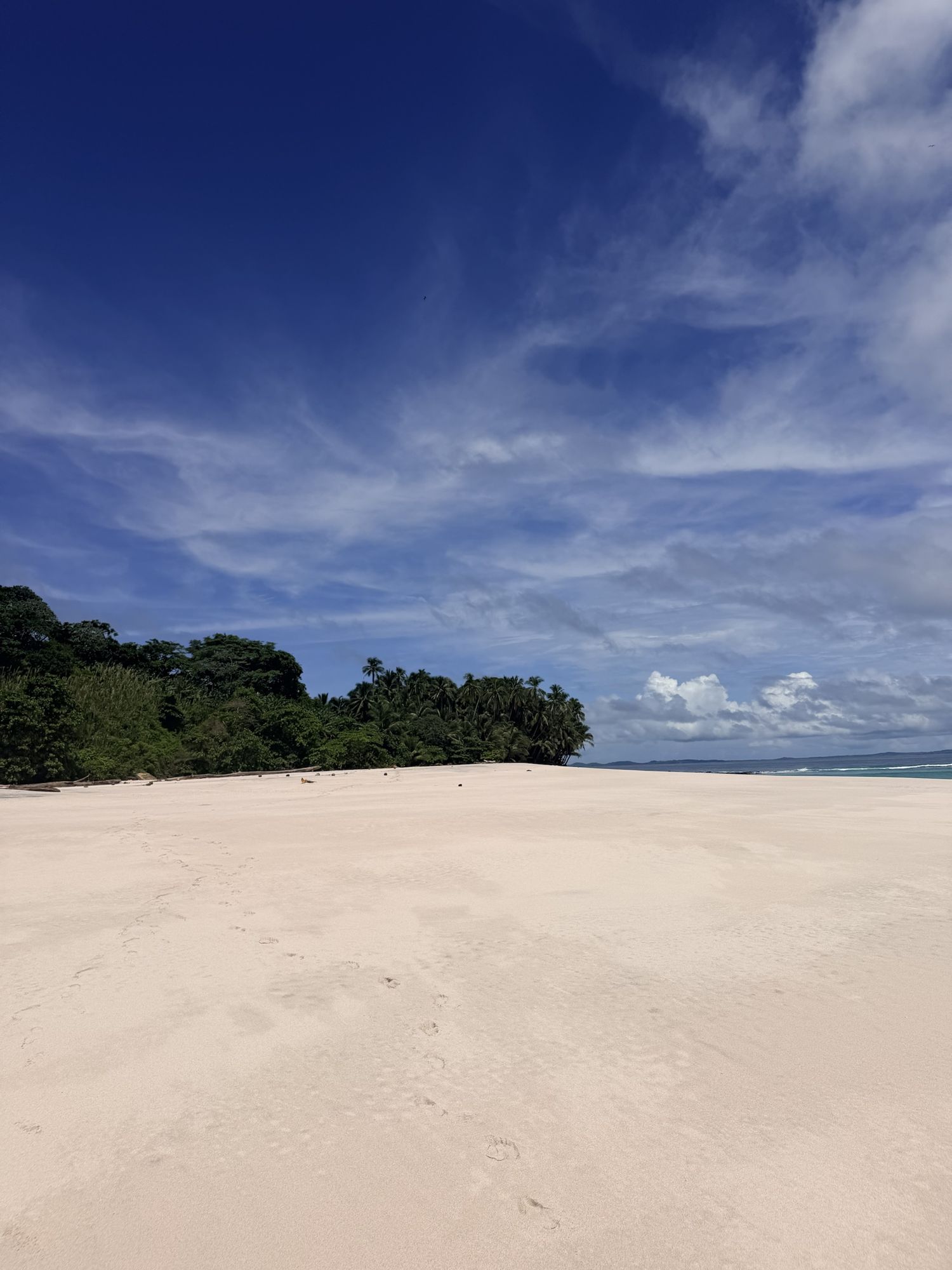
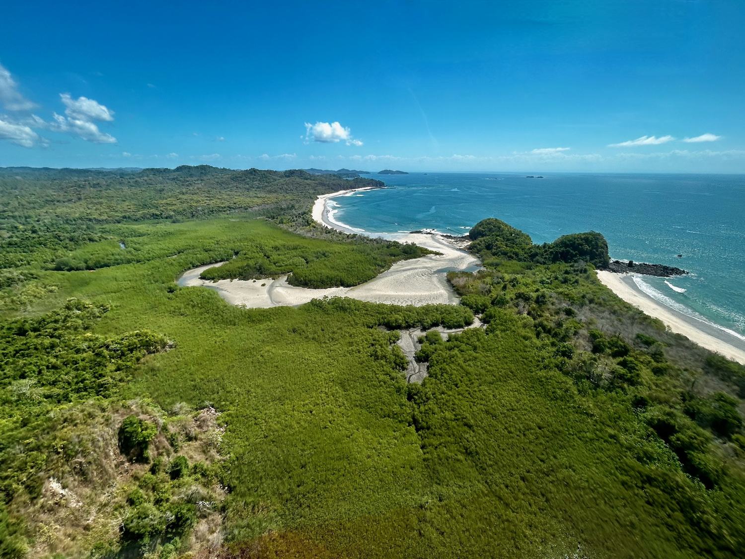
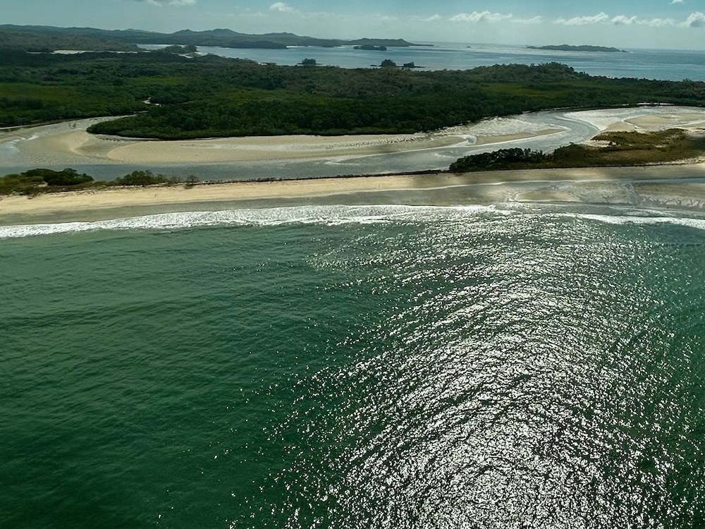
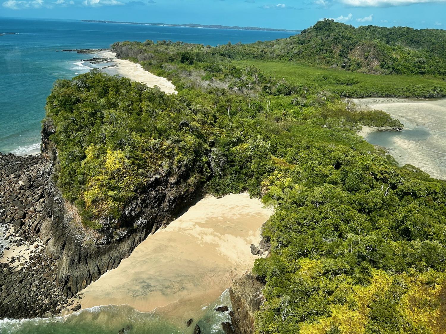
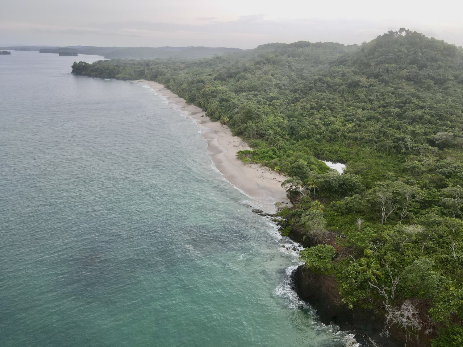
Photographed at El Refugio. Not renders.
These waters are among the most thoroughly studied in Pacific Central America. The figures below are drawn from the research of the Smithsonian Tropical Research Institute and Heriot-Watt University, carried out under the United Kingdom’s Darwin Initiative and gathered into the 2010 Atlas of the Marine-Coastal Resources of the Special Management Zone.
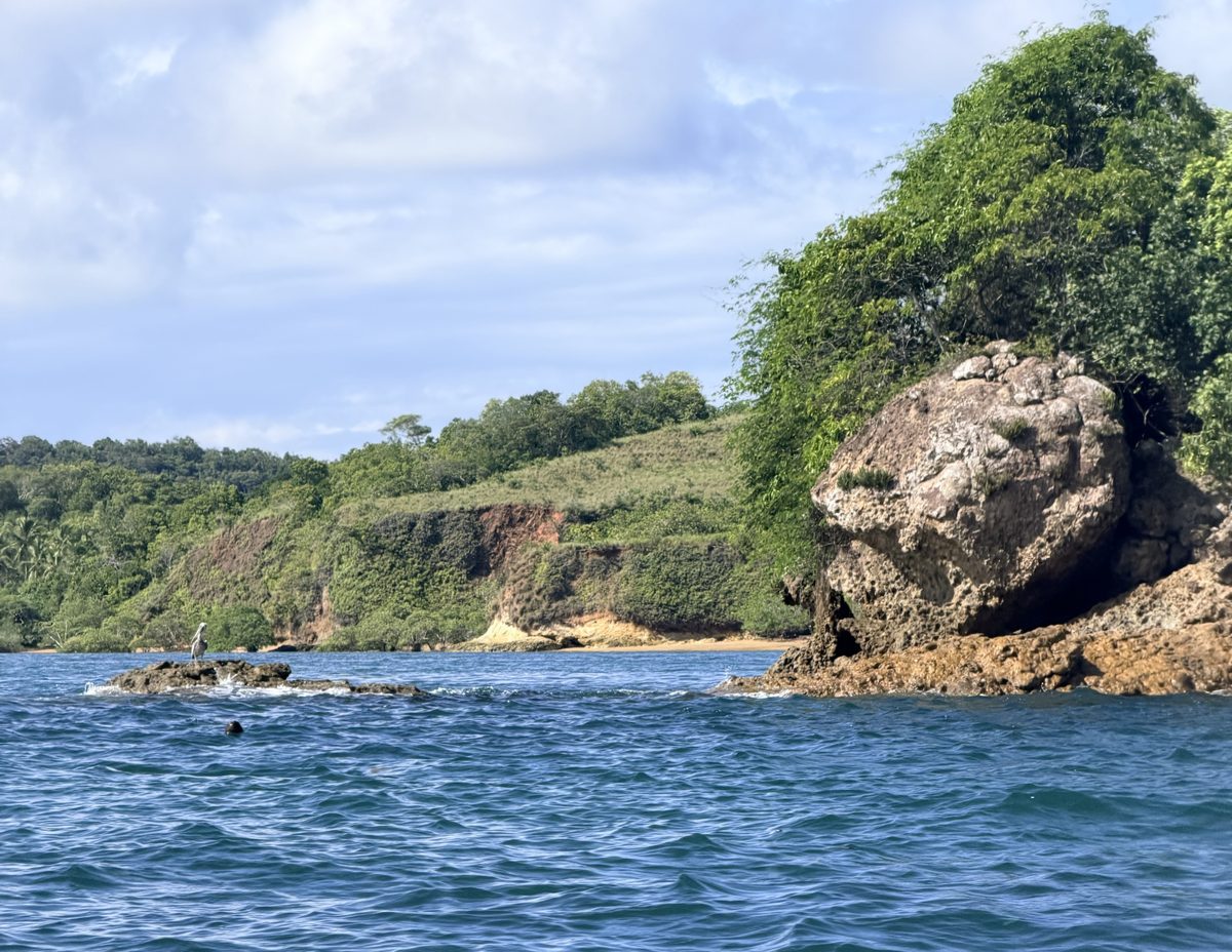
The interior of the island, its watersheds and the sources of its rivers, is protected under Panamanian law as the Reserva Hidrológica Isla del Rey. The middle of the island is, by statute, kept whole.
In 2007, following an extensive participatory process, Panama declared the whole archipelago a Zona Especial de Manejo under Law 18, resting on the science gathered here over the preceding decade.
The same body of law expressly permits careful tourism activation along the coast. El Refugio is engineered to live precisely inside that permission: a narrow coastal ribbon, the vast remainder held.
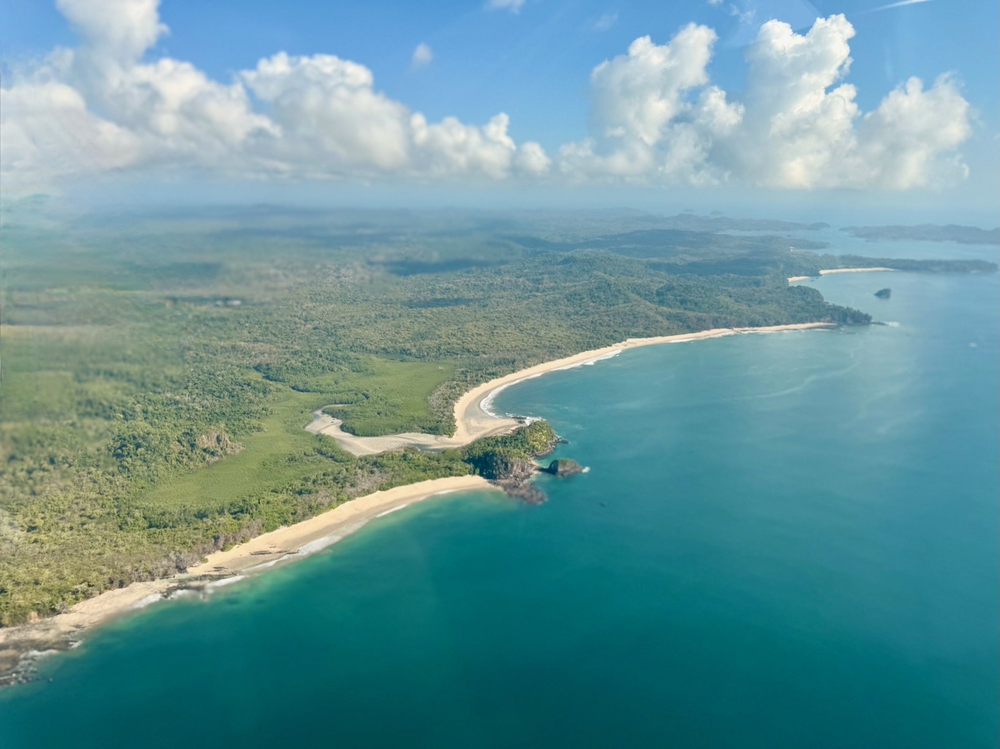
A parcel at El Refugio is not a frontage. An owner of one or two kilometres of beach holds everything behind it: the forest, the ridges, the streams and the terrain running back from the shore, to read, to learn and to curate as their own reserve. Nobody is buying a view with somebody else’s land behind it.
What keeps it whole is the covenant rather than the fence. Building, sited with care, is expected to touch around five percent of any holding. Beyond that, the land opens only to cut trails for walking and riding and the service corridors that keep a house running. The rest stays as it is.
The forest it protects is semi-deciduous tropical woodland, the moist-to-dry transition of Panama’s Pacific lowlands: a globally scarce type, rarer and more threatened than the rainforests that draw the eye. Emergent ceibas rise above the canopy as living columns, hung with orchids. Below them stand hardwoods heavily cut elsewhere and, here, left to grow.
Only a handful of parcels will ever be sold, and only to hospitality activators with a proven consciousness of biodiversity conservation. Who holds the land matters more than any clause written to govern them. We would rather sell to fewer people, more slowly, than to anyone who needs the covenant explained.
Value here compounds not with density, but with restraint.
When Balboa reached these islands in 1513 he named them for the abundance of pearl oysters in their waters. For centuries they gave the world some of its most celebrated pearls, among them La Peregrina, found here by an enslaved diver, worn by a queen of England, and four centuries later hung at Elizabeth Taylor’s throat.
By the nineteenth century pearl and mother-of-pearl accounted for more than half of all Panama’s trade. It could not last. The beds were worked beyond recovery and the pearl oyster is recorded today as a collapsed species. On the shore of nearby San Telmo, the rusting hull of an 1865 submarine still lies where it was brought to reach the deeper beds once the shallow ones were emptied.
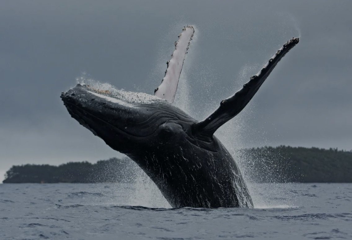
Stewardship here is the turning of that page. The whale that rises in our mark is the successor to the pearl: the living treasure of these waters, protected rather than taken.
Isla del Rey carries four settlements: San Miguel, the archipelago’s oldest and principal town, and the smaller villages of La Esmeralda, La Ensenada and La Guinea. The families living here today are in large part the descendants of the pearl divers themselves, freed in the mid-nineteenth century and rooted on the island for the generations since. In the name of La Guinea one still hears an echo of the West African coast.
Ten percent of the proceeds from every Coastal Corridor parcel flows to an independently governed Island Community Trust, supporting healthcare, education and small-business microfinance for islander families. As the domain grows, the Trust grows with it.
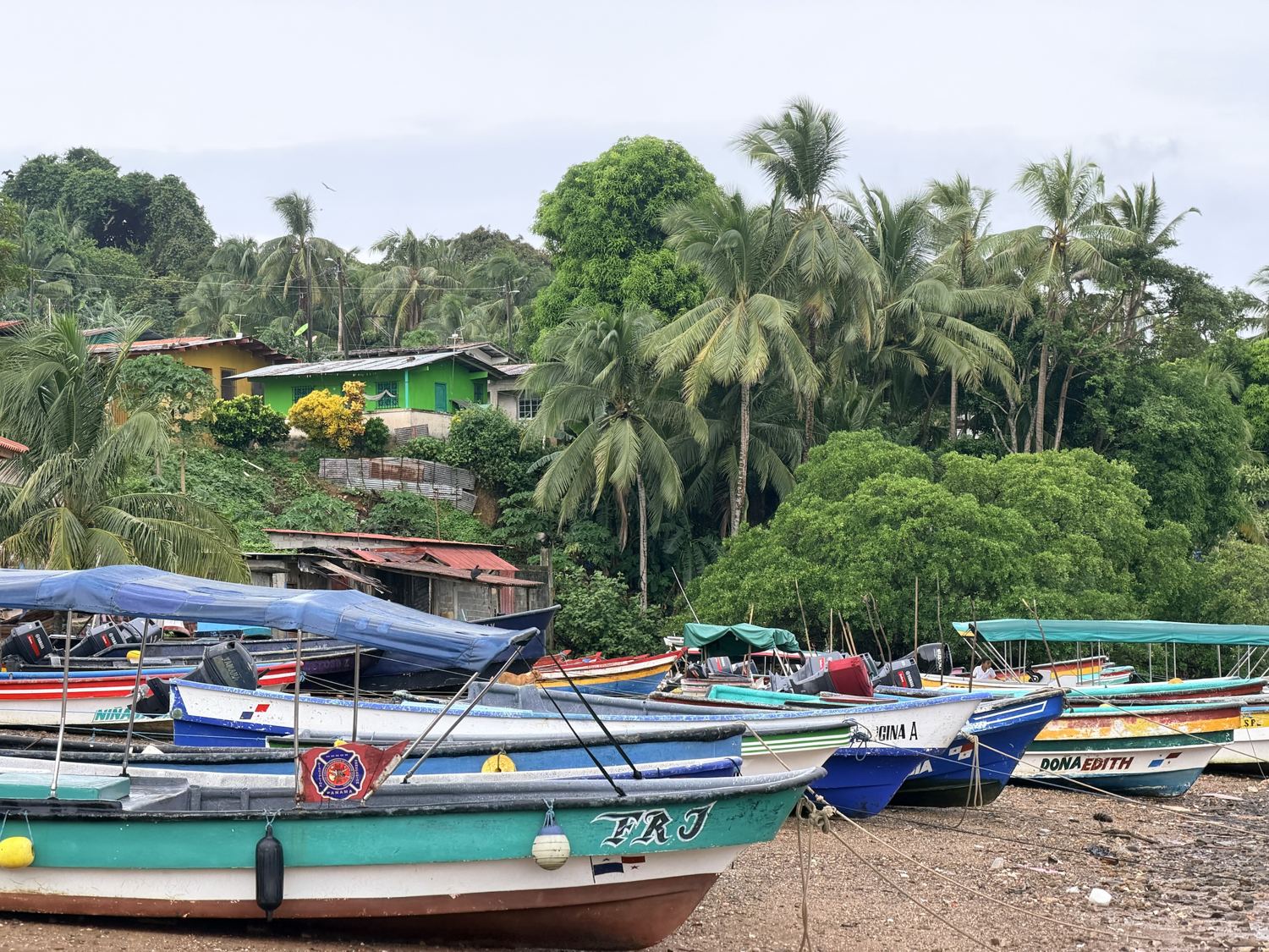
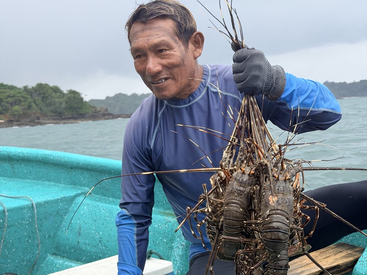
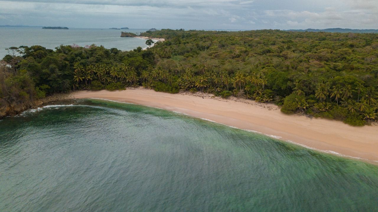
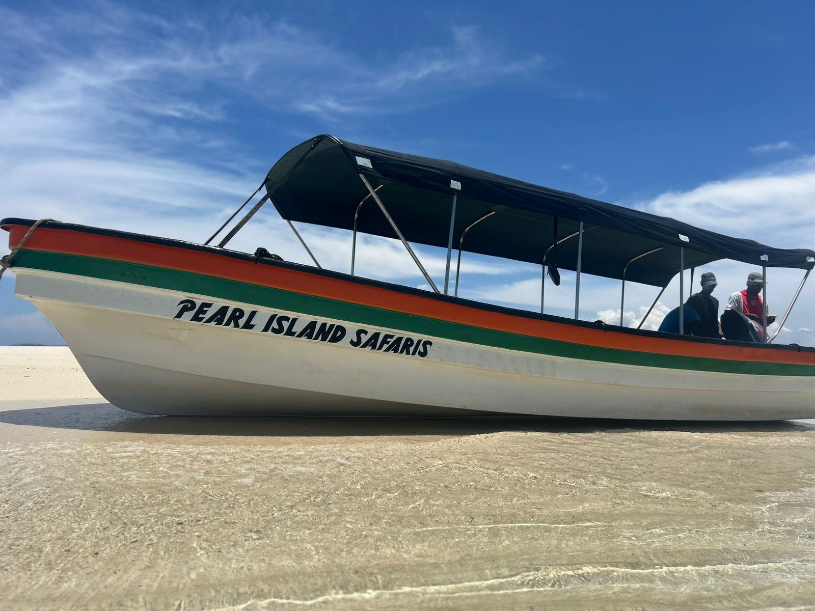
The Ocean Safari and Explorers’ Club, and the houses gathered around it.
This is where El Refugio begins. A small activation living inside a much larger act of preservation: a handful of houses, a club at the centre of them, boats on the beach and a farm behind. Everything else on this coast stays as it is.
Two-bedroom houses in natural timber, elevated above the ground, each in its own clearing with its own stretch of sand. Never clustered. Three and five bedroom Beach Houses are available for purchase on request.
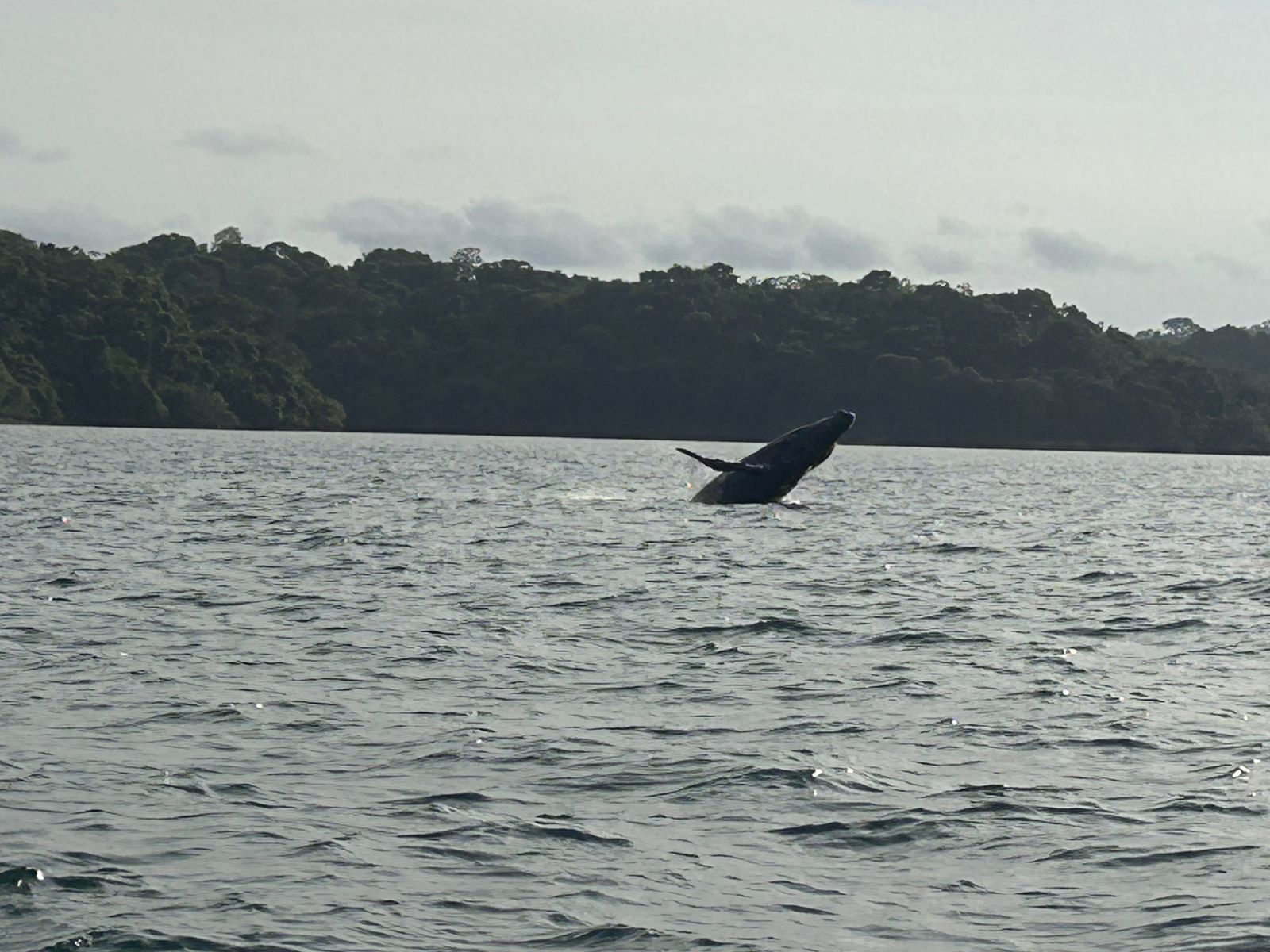
A lounge, a bar, a restaurant and the centre from which every expedition leaves. Whales in season, reefs, rivers, empty sandbank islands to pull a boat up to, and trails into the forest to walk out into the wilderness itself.
Our own land, already being planted, growing the provisions that supply the houses and the Club. Food from the island and its waters, not only from the ferry.
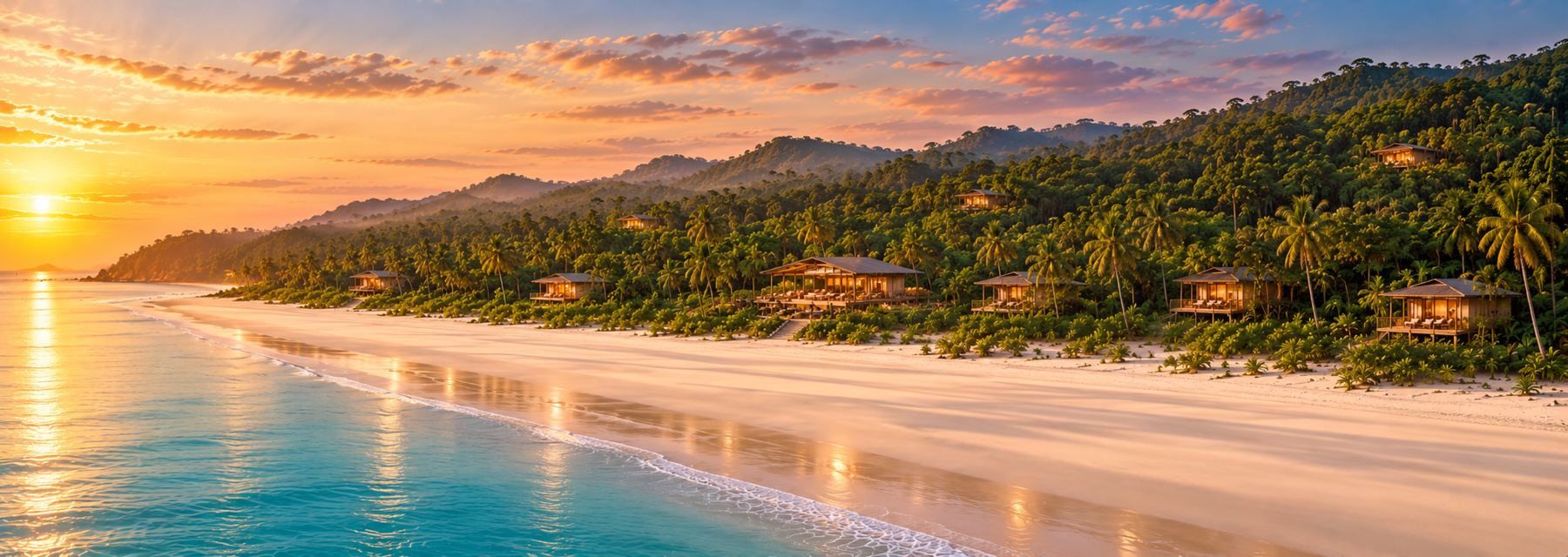
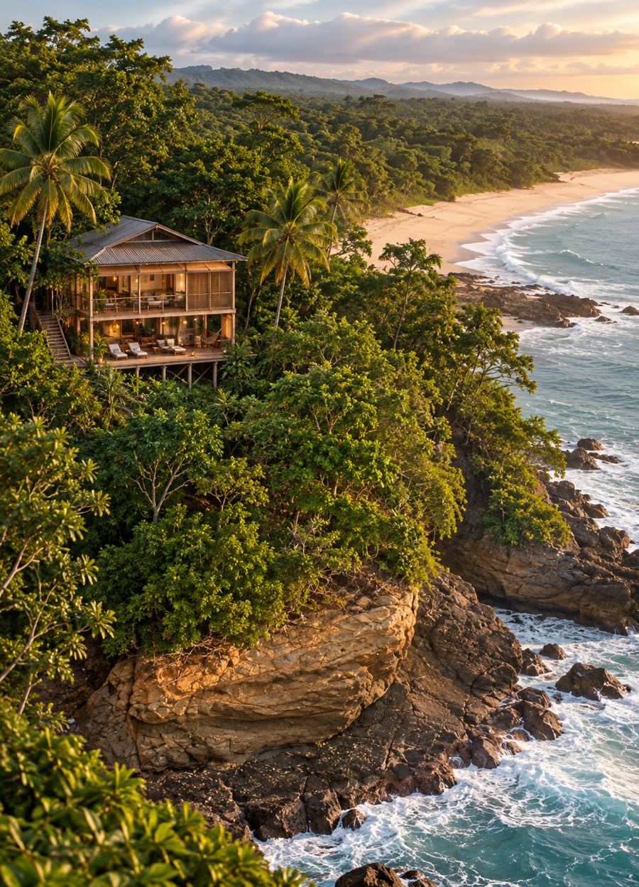
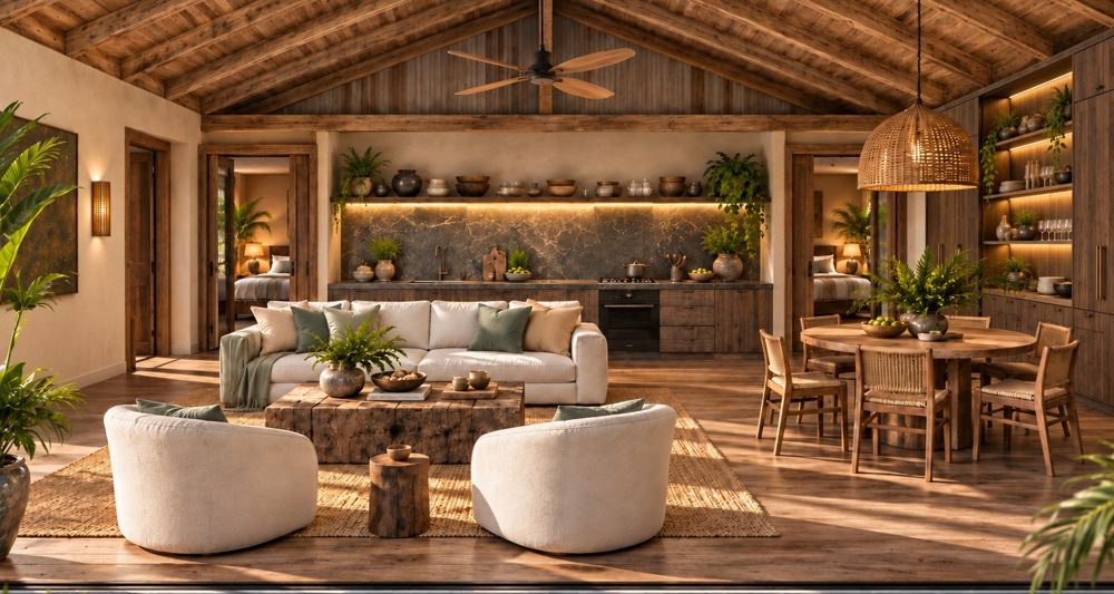
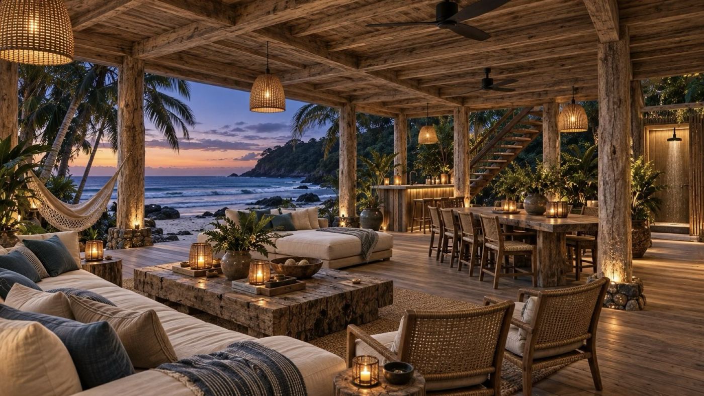

Artist’s impressions of the first stage.
We welcome serious conversations with conservation partners, operators and those who recognise what this place is.
To help us in support of your enquiry, please include a line about who you are, and whether you are an interested investor in land or would like to become a Beach House Club member or owner. Every enquiry is answered personally and held in confidence.